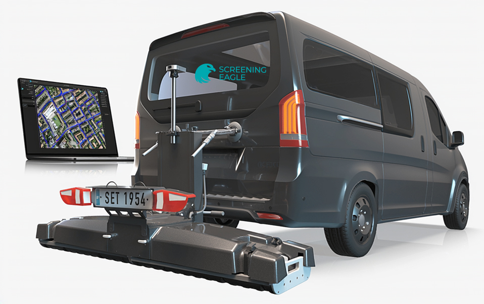
Field Methodology:
Free Path
Live Image Processing:
Time Slice View (georeferenced)
Hilbert migration
Depth range adjustment
Dynamic Gain / Manual Gain
Sensitivity filter
Background removal filter
Noise cancellation filter
Frequency filter
Live Display Options:
Satellite imagery
GNSS trajectory
CAD object layers
Spectral / seismic colour palettes
On Site Annotations:
Tags
Points of Interest
Voice Markers
Field Calibration Options:
Doppler Radar
Doppler Radar
Wheel Speed
Dielectric / Velocity
Cloud Services:
Live date synchronisation to Workspace
Trajectory correction by bundle adjustment
Permanent data storage
Raw data export to SEG-Y
Instant CAD/SHP/KML drawing generation
Instant report generation
Share via URL
Coordinate Systems:
EPSG Global database
Local Grid models
Geoid models
Post-processing software:
Running on Workspace
Special Modules:
3D multichannel
Utility Mapping
Bridge inspection